Denham J & JElong Elong, NSW
Geophysicists#1 of 3 in Central NSW
Geospatial Australia
Dubbo NSW 2830No reviews yetEstablished 2017
About
Geospatial Australia is established as a spatial data analysis and data acquisition company in Dubbo, Central West New South Wales. Our modern business model is based on leveraging the advancements in technology for spatial data acquisition, processing and analysis.
Geospatial Australia collectively has over 140,000 hours of experience in ESRI ArcGIS Training (Advanced & Introductory), Spatial data analysis (including demographic and statistical data thus providing a spatial representation), Remote Sensing, Topographic Survey, Geophysical Logging, Data Interpretation and Reporting, Borehole and Mine Shaft CCTV Inspections, Water Quality Investigations and more.
We Produce high quality maps and datasets that comply with the Australian New Zealand Land Information Council Standards.
We Provide the following services to our clients across Australia:
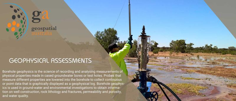
GEOPHYSICAL ASSESSMENTS,
HYDROLOGICAL & HYDRAULIC ASSESSMENTS,
HYDRO-GEOLOGICAL ASSESSMENTS,
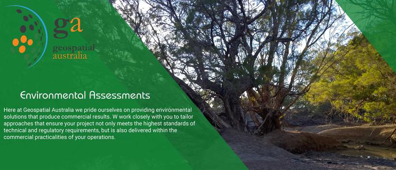
NATIVE VEGETATION ASSESSMENTS AND REPORTING,
GIS TRAINING,
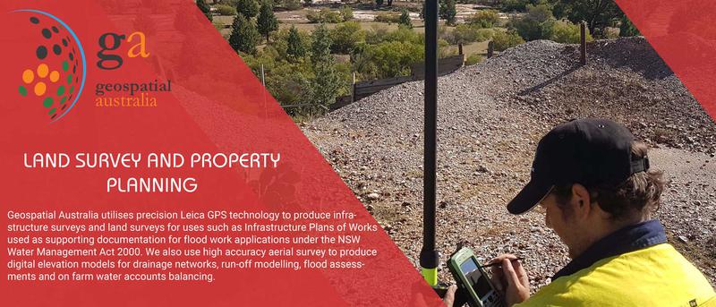
MAPPING AND SPATIAL DATA ANALYSIS,
Geospatial Australia services regional NSW and provides a range of bore, mapping and vegetation assessment services. Bore services include water meter installation, bore survey and water quality sampling and logging. We also conduct Televiewer and Acoustic bore investigations. Geospatial specialises in Map Production, Remote Sensing and GIS Support Services including GIS Training and GIS Establishment. Geospatial also conducts vegetation surveys and assessment of Invasive Native Shrubs or Biosecurity species to identify strategic management options. Geospatial supports regional landholders, broad scale agriculture and mining operations. Geospatial also directly supports NSW State Agencies including DPIE and Local Land Services.
GeophysicsHydrologyHydro-geologyGISMappingSpatial Data AnalysisEnvironmental StudiesWater Metering
Reviews
Be the first to review this business.
More geophysicists in Central NSW
See all 3Groundwater ImagingDubbo, NSW
Advertisement