Quantum Surveys Pty LtdGeraldton, WA

Southern Cross WA 6426No reviews yetEstablished 2008
Government Research(2007) into the use of Spatial Data reveals that the lack of, or the Negligence of Spatial Information attributes to a loss of 25% productivity for Industries, Commerce and to the Community.
INNOVATION AND SERVICE
Dragonfly Mapping are the NEW surveying provider in Western Australia providing professional and dependable service to Industries, Commerce and Communities. Reliable spatial information is essential to productive businesses, critical planning and design decisions, and ensures projects are constructed to design.
Can your business neglect 25% potential.
EXPERIENCE
At Dragonfly Mapping we are leading the way with emerging Spatial Technology and Survey Practices. Using our flexible solutions ensure value and dependability to your project. Our team has over 14 years experience in major projects and operations locally and internationally, providing a depth of knowledge to your project.
AERIAL MAPPING
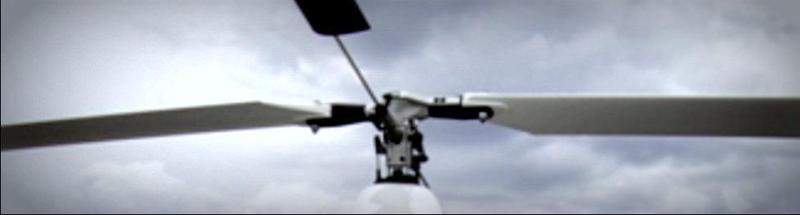
Over the years within the profession, we have proven our systems and equipment to meet all your surveying requirements. Our goal is the viable use of automated aircraft to capture Aerial Imagery. Reducing cost and increasing accuracy of Aerial Mapping, a vital source of spatial information.
LOCATION
Dragonfly Mapping knows the issues affecting remote businesses and communities, being a rural operated business ourselves. Our aim is to provide rural industries commerce and communities with reliable and effective spatial information.
Be the first to review this business.