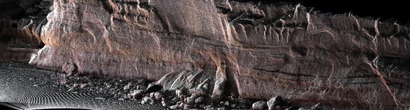
Dragonfly Mapping
Government Research(2007) into the use of Spatial Data reveals that the lack of, or the Negligence of Spatial Information attributes to a loss of 25% productivity for Industries, Commerce and to the…
11 land surveyors in Wheat Belt, WA, ranked by local votes. Browse by suburb below.
Showing 1–11 of 11

Government Research(2007) into the use of Spatial Data reveals that the lack of, or the Negligence of Spatial Information attributes to a loss of 25% productivity for Industries, Commerce and to the…

Quantum Surveys provides industry leading Land Surveying and Spatial Science services throughout regional Western Australia. Commercial and residential developments, construction, engineering and…
Mining, exploration, land and engineering surveyors. Specialising in remote area surveys.
Tourist Maps, HEMA Maps, Streetsmart Maps, Topographical Maps, Geological Maps, Marine Charts, Current Town Maps of Geraldton, Kalbarri, Northampton, Dongara, & Mullewa.
Exploration mining surveying specialists. Offering Exploration, Mining & Engineering Surveying and Quarry & Mine Management Services. With around 20 years consulting experience in the above fields…